

Apple Pencil on the 13" iPad Pro
Measure Map Pro, Agro Measure Map and Wheel it Off now support precise Apple Pencil drawing on the latest iPad Pro.

We build Measure Map, the professional GPS, satellite and augmented reality measuring tools trusted by farmers, contractors, paving companies, surveyors and rescue teams all over the world.
Measure areas, distances and perimeters over satellite maps with professional accuracy. Then share the results with your team and your clients in real time.
From a vineyard to a rooftop, our tools turn a few taps on a map into quotes, plans and invoices.
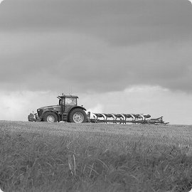
Field areas, seeding rates and input quantities.

Plot sizes, site surveys and material estimates.
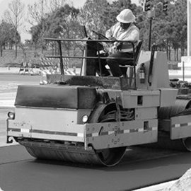
Measure lots and send quotes in minutes.

Search areas, circles and covered distances.
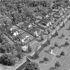
Real plot areas and boundaries.
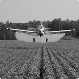
Surfaces to treat and accurate proposals.
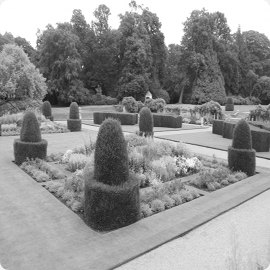
Lawns, beds and materials, costed right.
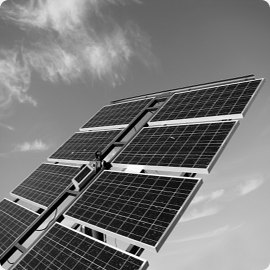
Surfaces and bearings to place panels.
We adapt Measure Map to your brand and your workflow, or build a new app from scratch.
Measure Map with your look & feel and your own features, like AO Measure Map for Agrar-Office in Germany.
Embed measuring in your own software with our REST and iFrame APIs, with single sign-on for teams.
Let your potential customers measure their own property and request an estimate, with no account needed.
Custom apps for unique jobs, like Build Me Up!, a 3D slice viewer for sculpture maker Matinmat.
Measure Map Pro, Agro Measure Map and Wheel it Off now support precise Apple Pencil drawing on the latest iPad Pro.
Point the camera at a milled slice and the app finds it in the 3D model for you.
Our collaborative cloud platform now has its own native app, in 24 languages.
Behind every solution there is a person we can help. Tell us what you need to measure and we'll find the way.